This article is from the summer edition of Mobile Baykeeper’s print quarterly, CURRENTS. The magazine is mailed to active members who have given more than $50 in 2023. To get on the magazine’s mailing list, donate here.
by Sam Wilkes | Photos by Edward Denton
Roughly thirty miles north of the Bayway, in the heart of the Mobile-Tensaw River Delta, lies an array of earthen mounds that once served as the political and religious epicenter of a blended civilization. Known today as the “Bottle Creek Site,” these mounds were engineered and constructed by the Mississippian people around 1250 CE, long before the Spanish Conquistadors “discovered the new world” and blazed a trail of carnage and disease through the Americas. The site’s remote location has helped preserve its natural state over the centuries. Nestled within a tight web of braided creeks and rivers, the only way to access the site is by water.
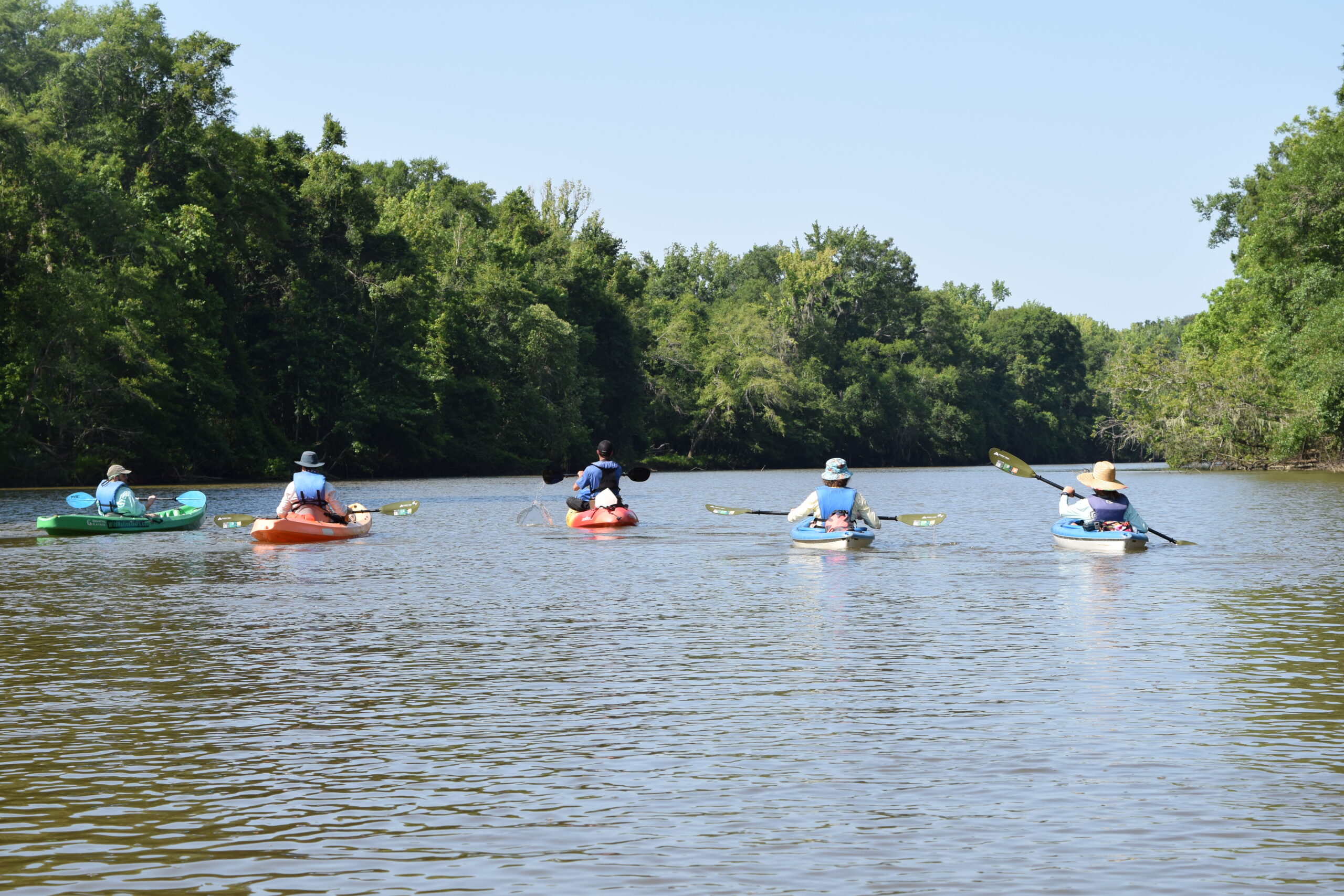
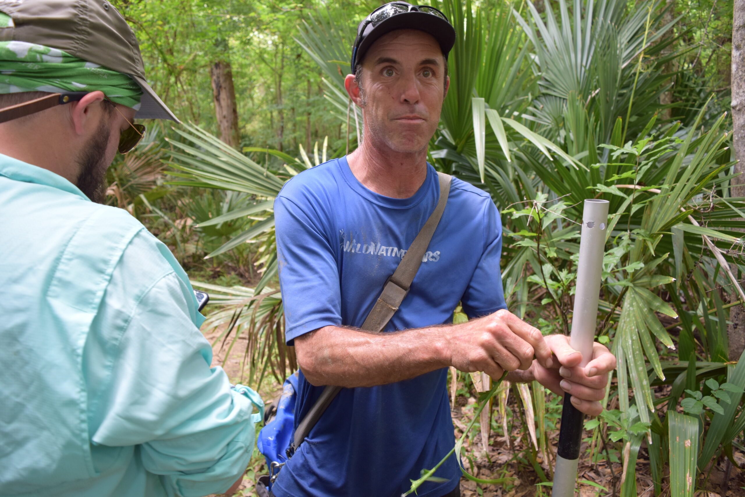
“It’s about an eleven-and-a-half-mile paddle round trip,” said Chris Wiber, owner of WildNative Tours. “I only do two to three Mound Island trips a year. I typically require a test-paddle first, to make sure the customers can handle the duration. Takes about three hours of paddling just to get there.”
This was all news to me as we slid our kayaks into the shallows of Rice Creek one early morning. But I wasn’t too concerned, because it soon became apparent we were leaving behind the notion of time with our vehicles in the parking lot. The trail we paddled had been first documented by explorer William Bartram on assignment from the King of England right before the American Revolution.
Bartram had collected rare specimens and made meticulous drawings of the flora and fauna. In many respects, this area had remained the same, as if preserved in another epoch. To get to Mound Island, we were going through the marvelous and unforgiving maze dubbed “America’s Amazon.” The nation’s second largest river delta is filled with more species of fish, turtles, snails, salamanders, craw- fish, and mussels than any other river system in America. And our guide knew each one.
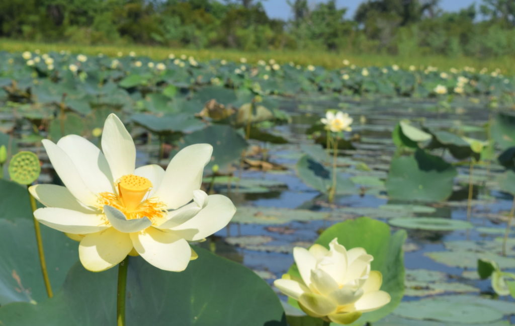
With the enthusiasm of a kid rattling off his favorite dinosaurs, Chris would recite facts about the Delta life as we paddled deeper into the canopy. From the first- to-bloom Choctaw Spider-Lily to Alabama’s official state reptile, the endangered, Red-bellied Turtle, to the medicinal uses of the Lizard Tail swamp lily to the benefits of the osprey’s unique talons to the Methuselah’s beard glowing in the oaks. Every hundred yards or so prompted a new lesson.
Occasionally, an alligator head would surface to investigate our commotion, keeping us in check. Turtles flashed their bright yellow stripes while kicking away from our paddles. As we drifted down the Tensaw River oxbow, Chris pointed out the white layers of shell middens on the riverbank dating back thousands of years. These were formed from na- tive people discarding the shells of the edible marsh clams, centuries before the Bottle Creek society.
“You can learn a lot about people from their trash,” Chris said with a wink.
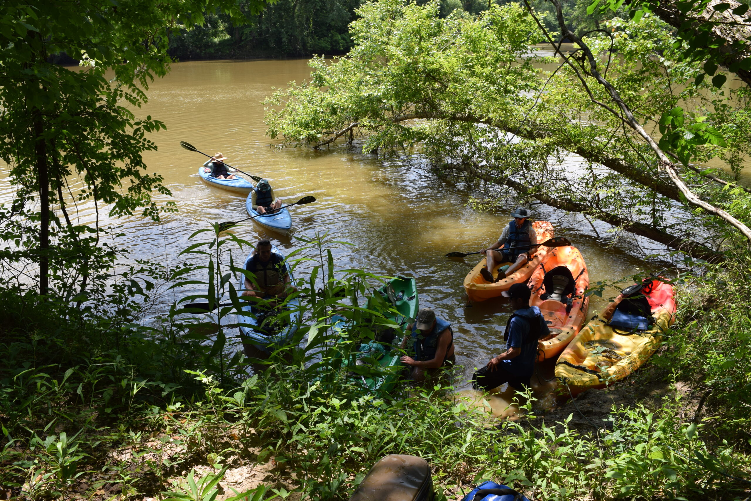
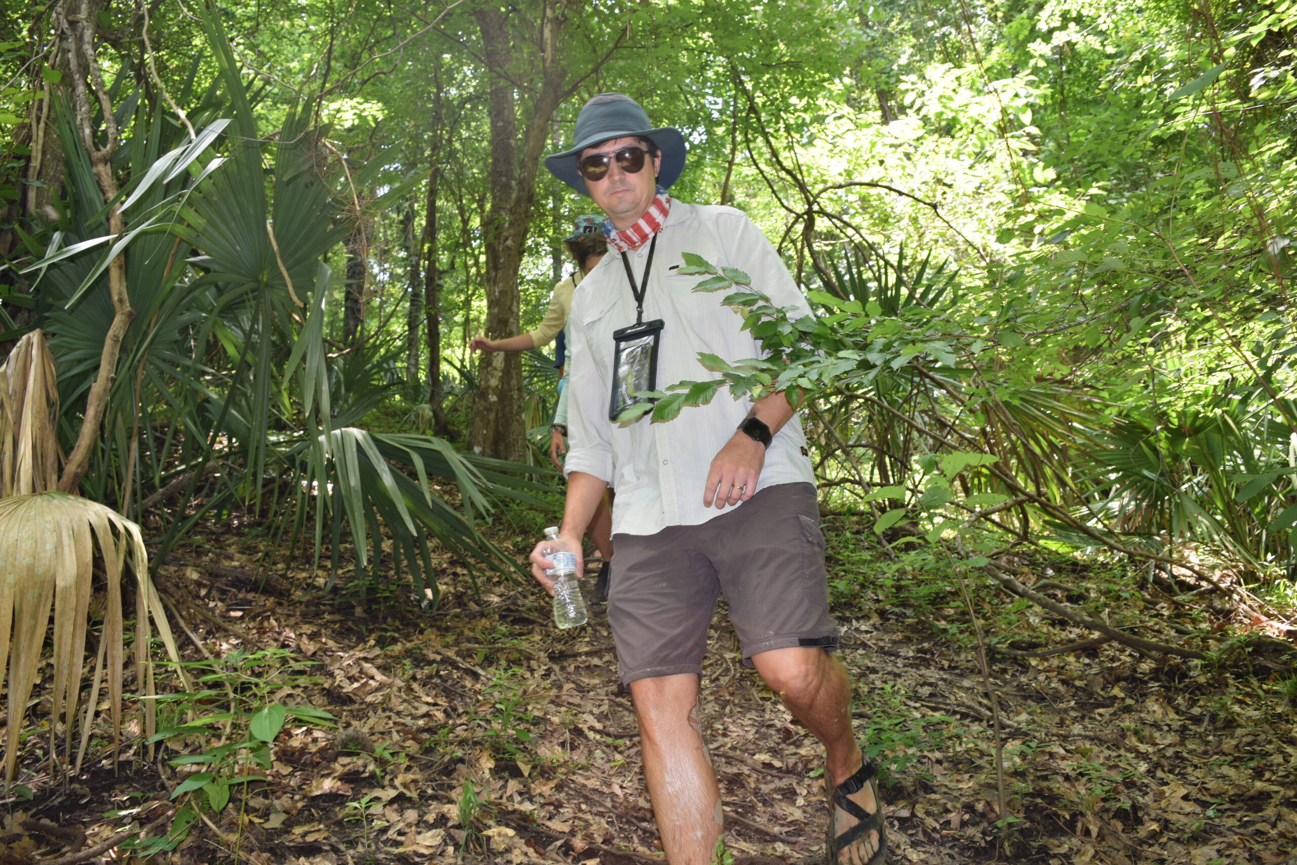
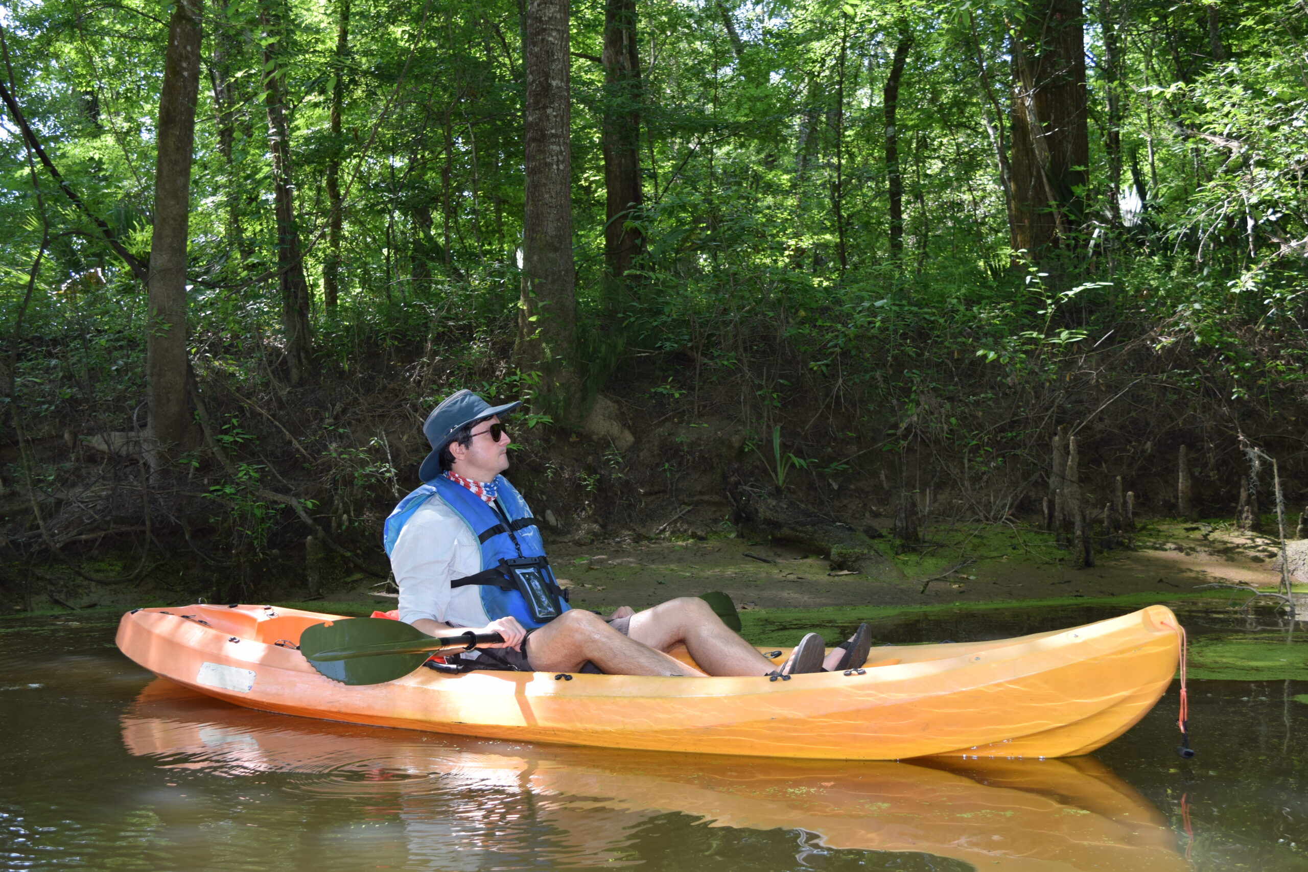


Leaving the larger expanse of the Tensaw oxbow, we entered the narrow creek of Bayou Jessamine, where tupelo, cypress, and oaks shielded us from the mounting sun. The water level was low for late spring, so we had to thrust our kayaks over fallen logs, while cautious not to disturb a camouflaged cottonmouth or wasp nest. Dragonflies, the size of hummingbirds, darted and dove, sending ripples across the water’s surface. The distant thrum of outboard engines faded, replaced with birdsong and the gentle trickle of our paddles. A calming silence enveloped us, siphoning away the clenched tension of modern life.
In preparation for our expedition, I had spoken with Dr. Greg Waselkov, a professor emeritus and former Director of Archaeological Studies at the University of South Alabama. A walking wealth of historical information, Waselkov was pivotal in establishing the Archaeology Museum at USA, which showcases artifacts from the Gulf Coast and covers more than 12,000 years of history.
“Mississippian is just an archaeology term,” he clarified, a label derived from the Mississippi River Valley where the culture first developed. “It doesn’t have anything to do with what they called their culture. We don’t know what they called it.”
The Mississippians were the most influential and complex native society that inhabited the eastern half of what is now the United States, prior to European arrival. They had hierarchal chiefdoms with elite ruling families connected to their religion. It’s a culture best remembered for its mound building.
Other native societies used burial mounds and left behind shell mounds; however, as Waselkov noted, “Those were different from the Mississippian mounds that held great political and religious significance.”
Alabama’s only mound site larger than Bottle Creek is located just south of Tuscaloosa overlooking the Black Warrior River in Moundville. Waselkov said it’s believed that the “Bottle Creek site was in a sense a colonization event. The Moundville people sent a group down to live and establish this town in the middle of the Delta. And because there were already big populations of Gulf Coast people with a very different culture at the time, this was kind of an intrusion from Moundville, bringing Mississippians down to the Gulf Coast at some time around 1250 CE.”
From that point forward the culture “diverges from what you would see in Moundville, so it’s kind of a combination of Gulf Coast and Mississippian ideas creating a new and different kind of culture.” Interestingly, it seems our region’s blended cultural history started long before the Europeans brought their flags and institutions.
When we emerged from the dense canopy of Bayou Jessamine into the Bottle Creek waterway, Mound Island stretched out before us. Spanning the horizon, it was much larger than I had envisioned. Chris said on approach he often liked “to imagine a young native from the outer village visiting the ‘big city’ for the first time.” With more than 18 mounds, this was the largest mound system in the Gulf Coast region.
Relying on pottery remnants, archaeologists believe the Bottle Creek society had a cultural reach that ranged from the eastern Louisiana coastal border to slightly east of Pensacola. It was a flourishing population from 1200 CE until the arrival of European explorers in the 1500s, which archaeologists call the “Bottle Creek phase” of the “Pensacola culture.” But as Waselkov noted, that’s also just an archaeology term. In fact, “the early archaeologists in the 1940s trying to define the different cultures did not realize the major center was around Mobile Bay. They believed it was somewhere in Florida, so they gave it the ‘Pensacola’ name. Which has been annoying to all of us for many years now,” he said.

Although it was primarily an agricultural society, the Bottle Creek culture also relied on local seafood while hunting wild game like deer and bear. The elite ruling class lived in rectangular or circular structures on the mounds and in between the mounds, while the rest lived in the surrounding areas closer to their fields. Although, as Waselkov acknowledged, it seems like a “really unusual spot to pick due to the flooding. The most plausible explanation is that the Mississippians were trying to control this region and make claim by putting their town right in the middle of this area.”
Some posit they wanted to control the salt resources of the region, an important and scarce commodity at the time. Modern-day Washington and Clarke counties have sizable salt springs and there is evidence of salt processing found in the pottery at the Bottle Creek site. Also, since they were an agricultural society, the Delta made perfect sense for farming.
“They relied on these floods which must have been an annoyance if your town flooded each year, but it did bring in silt,” Waselkov said. “These flood deposits would put soil on the river levees where they had their fields. They would farm those continuously when the water receded, they would plant, and then harvest in the fall. It was incredibly productive and they did not have to use fertilizer.”
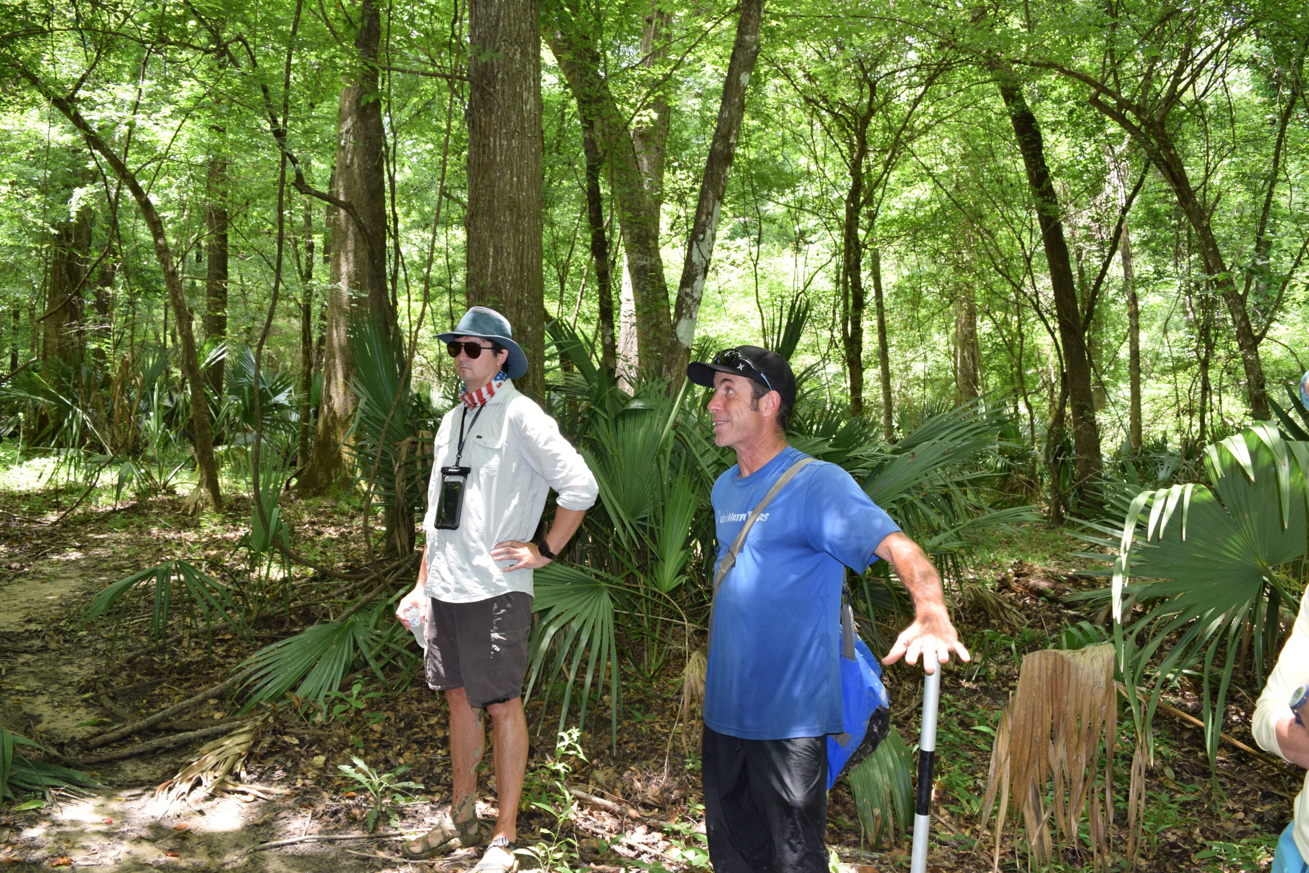
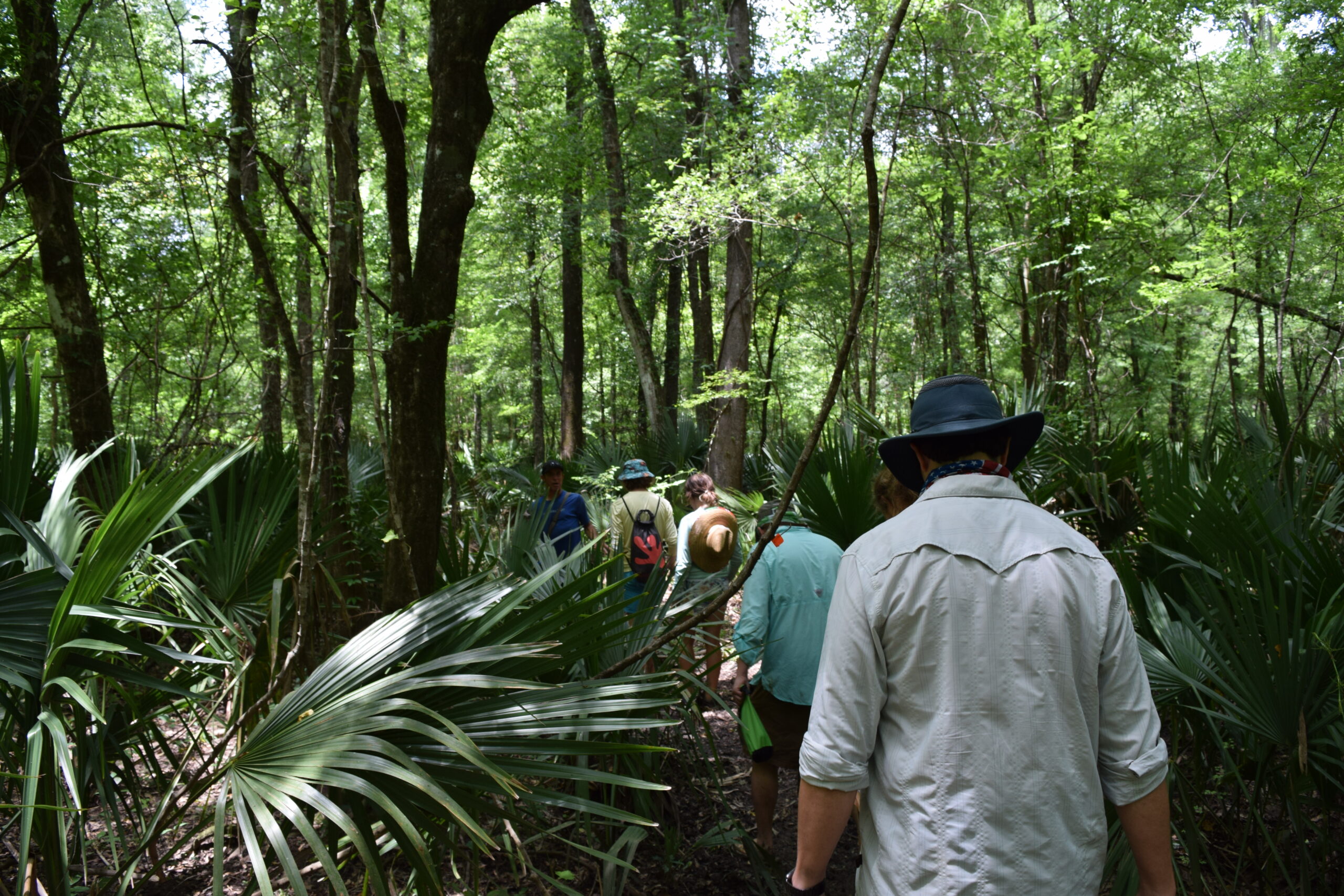
No signs of clear-cut fields today, as nature has reclaimed Mound Island over the centuries. Nonetheless, with precision, Chris guided our kayaks directly to the unmarked trailhead. The low water level did not help our access though and required us tying a rope to a tree to climb to solid ground. After three hours in a kayak, I felt like a fawn trying to find my footing up the slick mud bank. By noon, we were standing firm and barefoot on Mound Island.
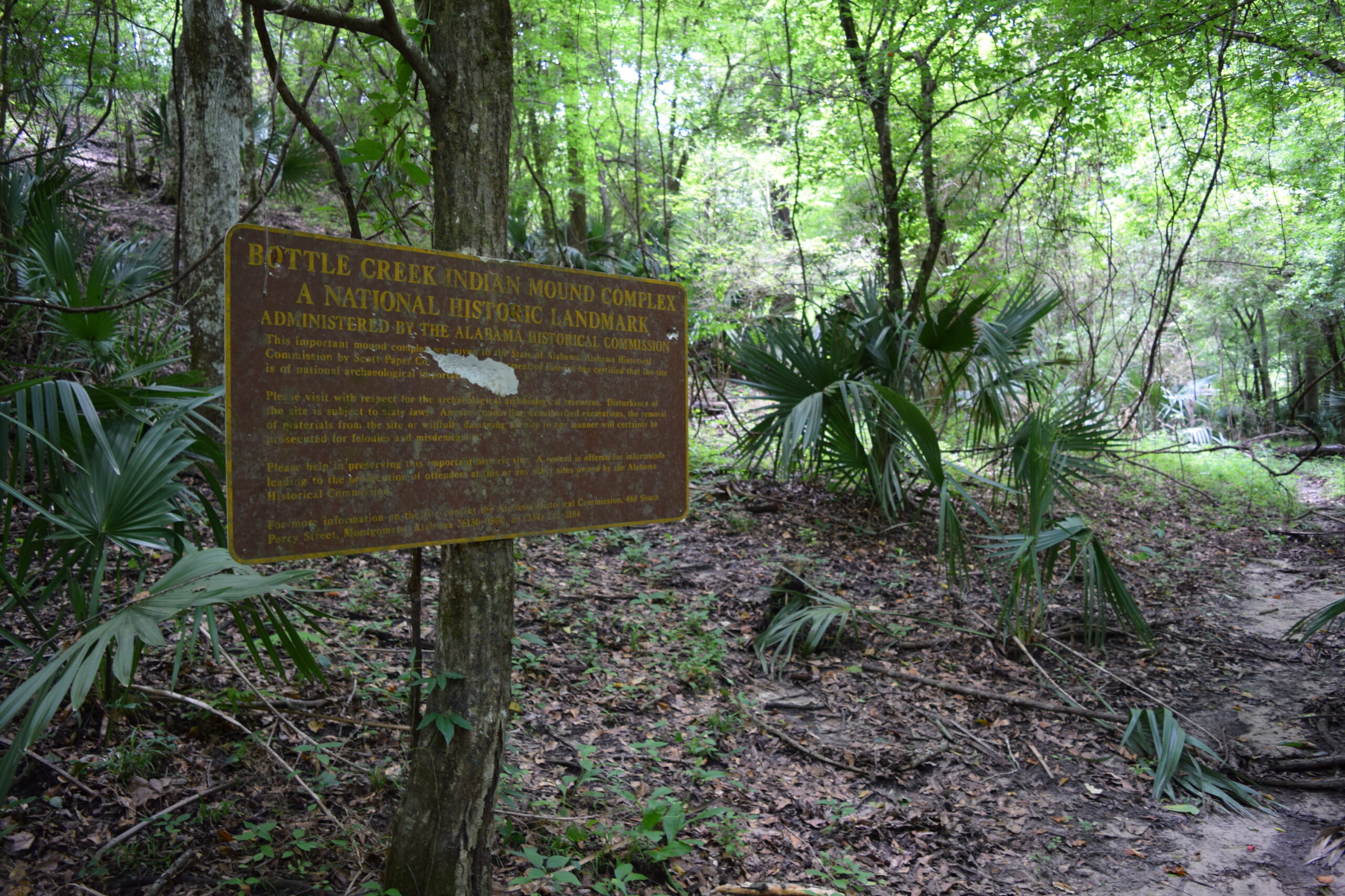
The roughly one-mile trail to “Mound A” led us through clusters of saw palmettos, banana spiders, braided streams, and a vast assembly of crawfish chimneys. A high canopy of tupelos and sycamores shaded the surroundings, making noon seem like dusk. Herons squawked with croaking landing calls from a nearby breeding ground. With each step, physicist Carlo Rovelli’s concept that time is an illusion became more obvious. If we were walking in 450 BCE or 1000 CE, I’m not sure I would have known. Except for the numerous ruts from wild hogs, whose ancestors were brought over by DeSoto in the 1500s. And, of course, the worn-out sign which declared: “BOTTLE CREEK INDIAN MOUND COMPLEX A NATIONAL HISTORIC LANDMARK.”
Behind the old sign stood Mound A with its commanding incline almost 50 feet to its level top. Photographs failed to capture the full scope of its size. The massive base could not be appreciated from one position, and the dense foliage obscured the dramatic rise. Several of the other smaller mounds surrounded us but were not as noticeable through the overgrown vegetation. To the west side, Mound B is only about twenty-five feet high but as long as a football field. Local hunters have reported deer, hogs, and other animals congregating on the mounds to avoid the seasonal flood- ing. But these are not mere hills of refuge in the Delta, these are complex engineered formations built with layered phases of clay, soils, and other materials made to withstand erosion and settlement.
The Mississippians used baskets made of cane and hoes made from shells on sticks. As USA Anthropology Professor Philip Carr observed at his recent presentation on mound builders: “Even though they had no beast of burden available, their hierarchical society with ties to their religion allowed them to complete quick construction with just human labor and modest handmade bas- kets.”
Waselkov said “it would likely take a year or less to initially build the mound. But they would come back over time and add layers. So, it might take a couple of hundred years to finish it as we see today. But initial construction would have been rapid.” It was once believed that clay was outsourced from areas to the north; however, archaeologists have confirmed that the three larger mounds are comprised of surrounding local soils. “They reworked their local environment,” Waselkov said. “The borrow pits, which remain visible at the site today, provided a lot, but not all, of the soil building materials.”
As we climbed to the top of Mound A, Chris told us the story of a group of local native Mobilians guiding the French explorer and founder of Mobile, Jean-Baptiste Le Moyne de Bienville, to the mounds in the spring of 1702. This was centuries after DeSoto’s bloodshed and the scattering of the various Mississippian societies into the smaller tribes. Yet, even as recently as the 1700s, the site still held religious significance and local natives routinely went to the mounds to offer sacrifices. The Mobilians believed no man could touch the god-head figures at the site and initially refused to serve as a guide.
However, Bienville was known to assimilate himself with the native culture to establish trade ties. He learned to speak their language without a translator and covered himself in traditional tattoos from the neck down. Bienville eventually obtained the Mobilian’s cooperation when he gifted them a desired firearm. However, when they reached the mounds, the Mobilians would not get close to the idols and would only approach facing backwards.

Bienville found and took five idols made of plaster-like material — a bear, an owl, a man, a woman, and a child. The local Mobilians were shocked Bienville was not struck dead for stealing them. The idols were eventually transported back to France. Some say they carried a curse from the gods with them.
When we reached the summit of Mound A, we were nearly 50 feet high, surveying the expanse of a lost civilization. Walking each side, I tried to envision the chiefdom at its zenith. The overgrown condition made it difficult, but with some imagination I was there, overlooking the grand stairway, the daub-covered houses, the pottery etched with hand-eye motifs and falcons, the baskets of maize and highly prized hickory nuts, the piles of clam shells, the hanging deer and bear hides, the levees, and the well-manicured fields.
Yet, even with all that we know, Waselkov said that “we’ve barely touched the surface. The last archaeological excavations in the nineties covered less than one percent of the site.” The State of Alabama owns the site today as a preserve and several current-day tribes, including Choctaws and Creeks, understandably claim it as a sacred ancestral area. Due to its challenging location, Bottle Creek is the only major mound site that has not been mowed and turned into a modern park.
“Not completely untouched, but it is still in excellent — pretty much pristine — shape compared to most mound sites,” said Waselkov. Even on the southside of Mound A, Waselkov pointed out that “you can see the raised ridge running up the middle that used to be the stairway; you don’t see that sort of thing very often. That is remarkably well preserved.”
As we turned to leave, our guide added: “Just know you’ll be in a world of trouble if you pull out a metal detector or light up a cigarette on this island.”
Chris was laughing but not joking. His warning turned my thoughts to our present timeline and what we may leave behind. I wondered if my children, or even their children, would be able to journey out here and experience the timeless beauty of our Delta. Or if it will become a field of toxic sludge, fenced off and quarantined, holding nothing but ghost stories. For mere miles upstream still looms Plant Barry’s 600-acre unlined coal ash pit on the banks of the Mobile River, leeching toxic chemicals into our waters. It is a pending environmental and economic disaster, separated from our river system by a meager earthen berm, like a tarp around the hull of the Titanic. One does not need the lucid clarity of hindsight to see how cost-cutting shortsightedness leads to our own catastrophes. Yet, climbing down the well-preserved remains over 700 years strong, I couldn’t help but feel inspired. We’re still fragile beings but with godlike technology, writing our own history. Hopefully, in this next chapter, we can surprise ourselves for the better.